
Equity in August
By Katie Elmer, M.A.
For most regions in the United States, August means heat! Most cities in the US see daily average highs of 80-90° F throughout August (US National Centers for Environmental Information) with the hottest days usually occurring between mid-July through mid-August.
However, not everyone is experiencing heat the same way. One element of the climate gap (historically marginalized groups bearing a disproportionate burden of the effects of climate change) is thermal inequity. Thermal inequity refers to this disproportionate burden as exposure to hotter temperatures. Even in the same city, different neighborhoods can experience drastic heat differences. These two neighborhoods in LA are only about 1-2 miles apart but the wealthier, white community is about 6°F cooler than the lower-income Latino and Asian communities, on the same day.
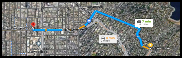
| Location | East Hollywood neighborhood | Silver Lake neighborhood |
| Demographic Details | - Majority Latino and Asian residents - Median yearly income less than $27,000 | - Majority white residents - Median yearly income more than $98,000 |
| Surface Temperature | 102.7 °F | 96.4 °F |
This example in LA is replicated in other regions and cities throughout the US. So, what causes these disparate temperatures in lower-income communities and communities of color?
There are many factors contributing to thermal inequity, some of which can be traced back to a history of inequitable zoning and urban planning. Redlining, the intentional practice of labeling neighborhoods with Black residents as risky for mortgage lenders, continues to influence the demographic of US communities. People of color and people from low-income backgrounds are more likely to live in urban areas. Urban areas usually have highly concentrated buildings, roads, concrete surfaces, less vegetation or green spaces, more industrial activity, more vehicles, etc. The combination of these factors creates heat islands, where certain areas are hotter than others. The example above with East Hollywood and Silver Lake is an example of an “intra-urban heat island” with the heat difference occurring between two different locations within the city.
What are some strategies to address thermal inequity in your community?
- Look at the data
- Use resources like Heat.gov, Climate.gov, and NOAA to see what regions in your area are at risk for thermal inequity.
- Use the data to strategize the most effective way to fund and implement targeted approaches to reduce thermal inequity.
- Researchers and experts recommend policy efforts and voluntary initiatives that:
- Increase tree and vegetation cover
- Create green roofs
- Shade paved surfaces
- Use light-colored urban surface materials
- Design buildings that create ground-level shade
- Researchers and experts recommend policy efforts and voluntary initiatives that:
Resources/Examples
Mapping Campaigns | HEAT.gov - National Integrated Heat Health Information System
Measuring Heat Islands | US EPA
Heat Island Compendium | US EPA


